The Newport Map Project
  • Home
  • Historic Maps
    • 1758 - Manuscript Map
    • 1777 - Plan of Newport
    • 1777 - Topographical Chart
    • 1780 - Plan of the Position of the French Army
    • 1838 - Newport Harbor
    • 1859 - City of Newport
    • 1876 - Atlas of Newport
    • 1878 - Birds-Eye-View
    • 1883 - Atlas of Newport
    • 1884 - Sanborn Map
    • 1893 - Atlas of Newport
    • 1907 - Atlas of Newport
    • 1913 - Proposed Improvements for Newport
    • 1921 - Atlas of Newport
    • 1933 - Newport's Famous 10 Mile Drive
    • 1954 - A Map of Newport and Middletown
  • Resources
  • Partners

The Newport Map Project

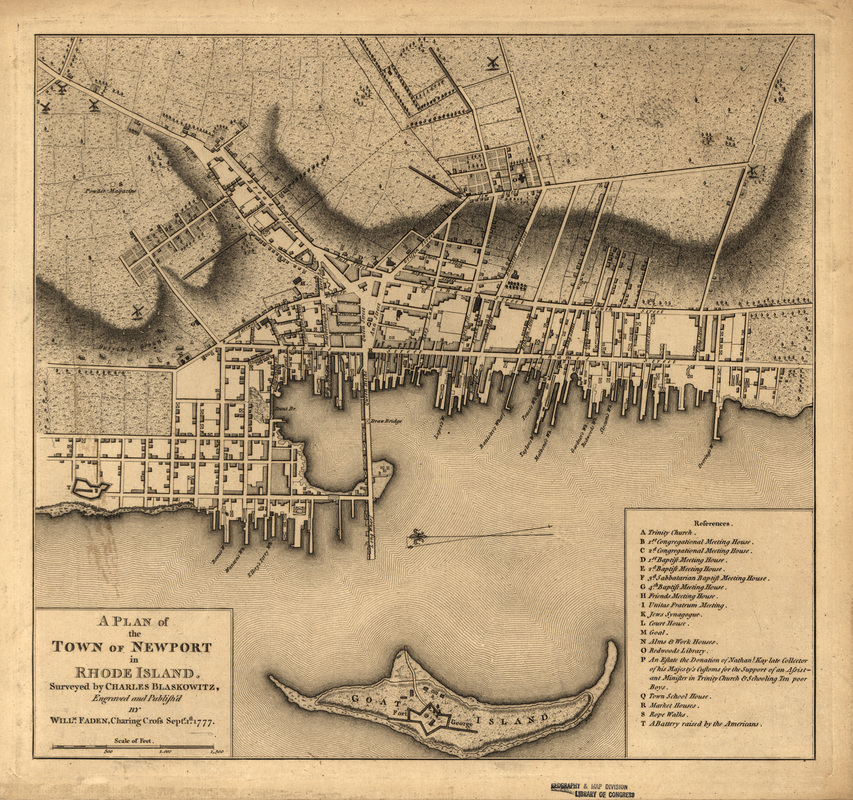
Plan of the Town of Newport, 1777
Survey by Charles Blaskowitz, London
From the collection of the Library of Congress
Picture

Picture
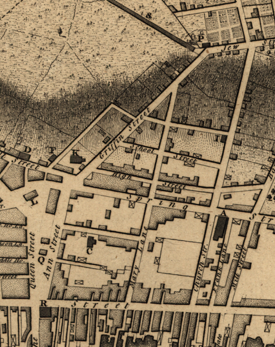
Detail: Queen Street and Ann Street (now Washington Square) at the bottom left. The intersection of Jew Street (now Bellevue Avenue) and Griffin Street (now Touro Street) at the upper right
Picture
References marking important landmarks in and around Newport
Picture
Detail showing the Burying Ground (bottom) and Broad Street (now Broadway)
Powered by Create your own unique website with customizable templates.