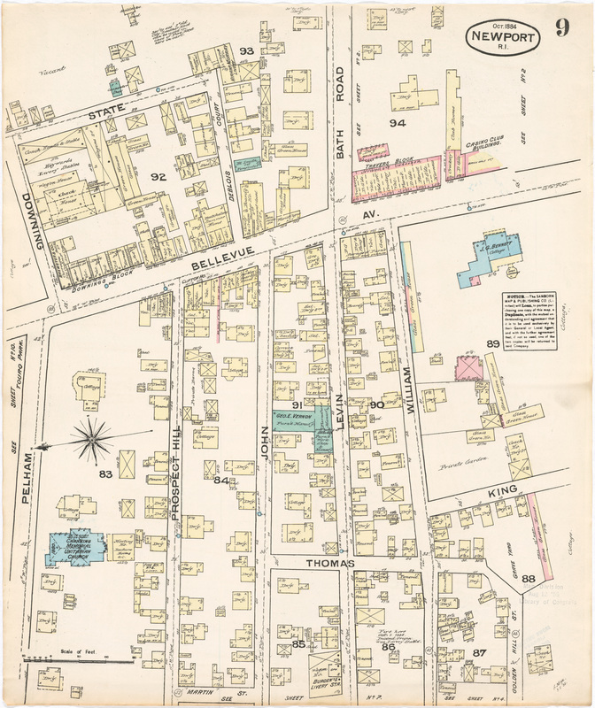
Newport, RI, Plate 9, 1884
Sanborn Map and Publishing Co., New York
Sanborn Map and Publishing Co., New York
|
Originally created to help insurance companies document fire insurance risk, Sanborn Maps are extremely useful historic documents. The maps are extraordinarily detailed including information such as addresses, building heights and number of stories, building footprints, street names, construction materials (brick, wood, etc.), building use (commercial or residence) and rights of way. Even the utilities – water and gas mains as well as fire hydrants – are illustrated.
Each building is color-coded: yellow for wooden frame, blue for stone, red for brick, and green for “special” (possibly iron or concrete). |
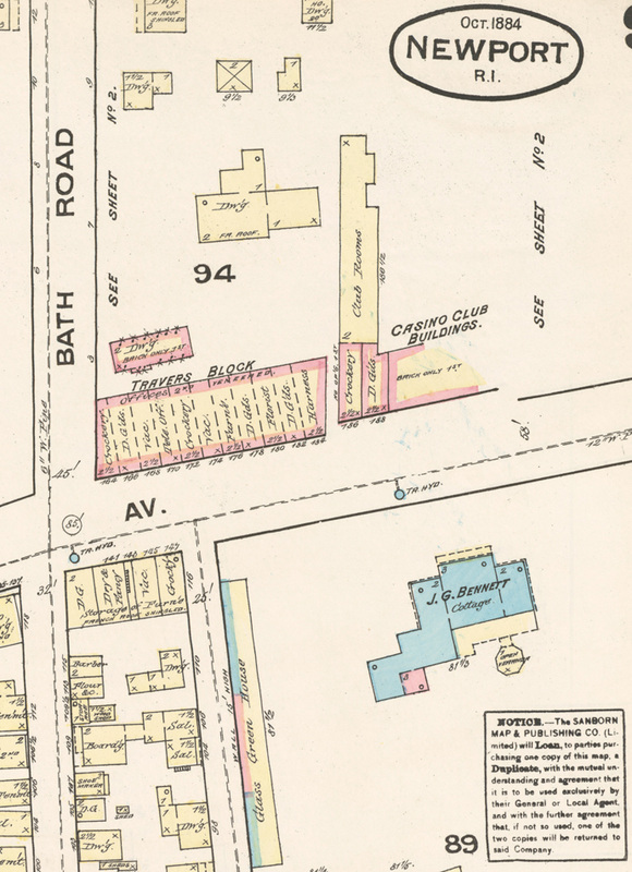
Detail of the intersection of Bellevue Avenue and Bath Road (now Memorial Boulevard)
