The Newport Map Project
  • Home
  • Historic Maps
    • 1758 - Manuscript Map
    • 1777 - Plan of Newport
    • 1777 - Topographical Chart
    • 1780 - Plan of the Position of the French Army
    • 1838 - Newport Harbor
    • 1859 - City of Newport
    • 1876 - Atlas of Newport
    • 1878 - Birds-Eye-View
    • 1883 - Atlas of Newport
    • 1884 - Sanborn Map
    • 1893 - Atlas of Newport
    • 1907 - Atlas of Newport
    • 1913 - Proposed Improvements for Newport
    • 1921 - Atlas of Newport
    • 1933 - Newport's Famous 10 Mile Drive
    • 1954 - A Map of Newport and Middletown
  • Resources
  • Partners

The Newport Map Project

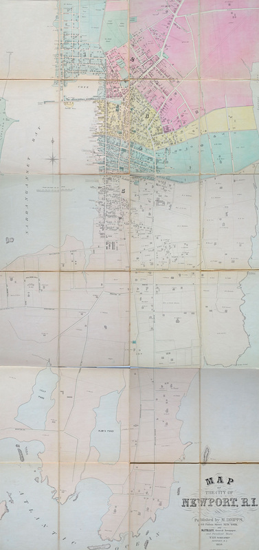
Map of the City of Newport, RI, 1859
Matthew Dripps, NY and B.I. Tilley, Newport
From the collections of the Newport Historical Society
Picture
Picture
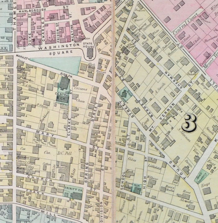
Detail showing Washington Square, Spring Street, and Touro Street

Picture
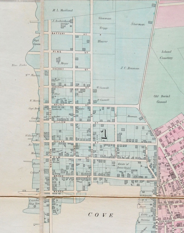
Detail of Easton's Point
Picture
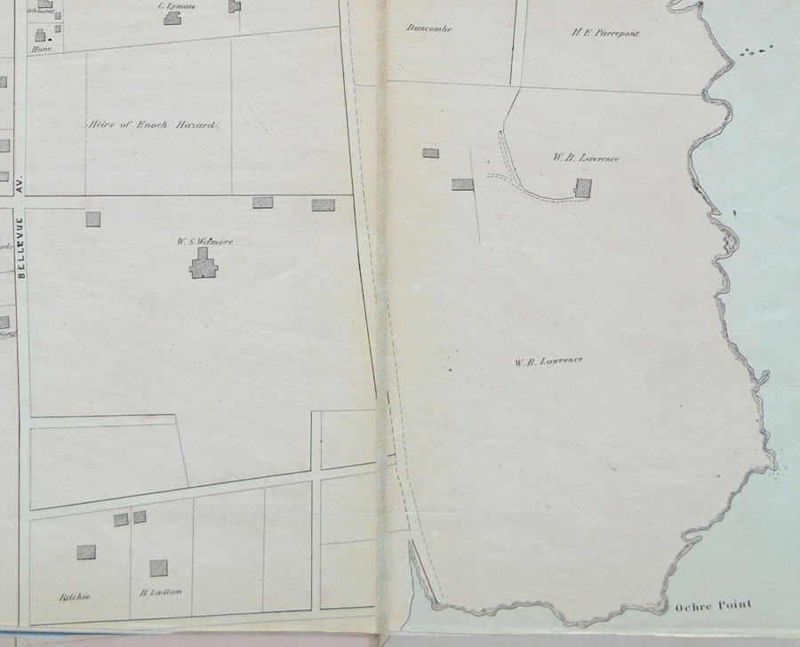
Detail of Ochre Point, with Chateau-sur-Mer (1852) visible at the left

Picture
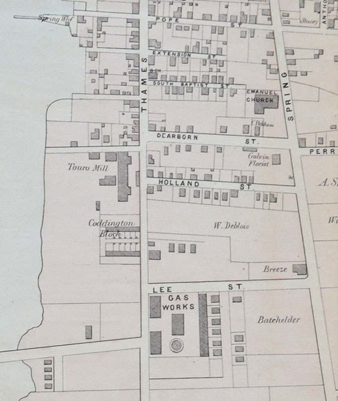
Detail of southern Thames Street
Powered by Create your own unique website with customizable templates.