The Newport Map Project
Home
Historic Maps
1758 - Manuscript Map
1777 - Plan of Newport
1777 - Topographical Chart
1780 - Plan of the Position of the French Army
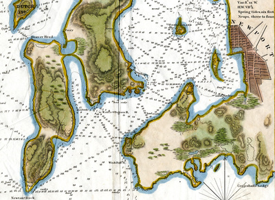
1838 - Newport Harbor
1859 - City of Newport
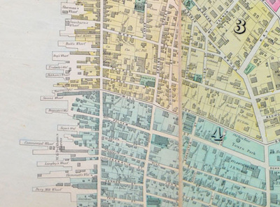
1876 - Atlas of Newport
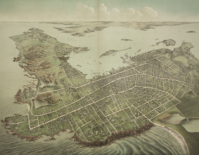
1878 - Birds-Eye-View
1883 - Atlas of Newport
1884 - Sanborn Map
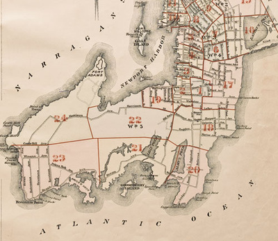
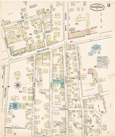
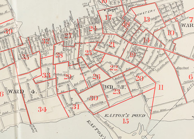
1893 - Atlas of Newport
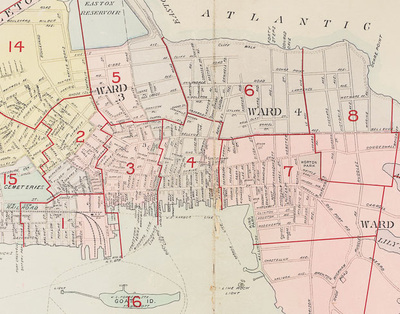
1907 - Atlas of Newport
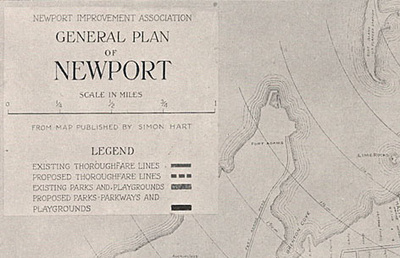
1913 - Proposed Improvements for Newport
1921 - Atlas of Newport
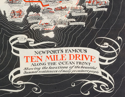
1933 - Newport's Famous 10 Mile Drive
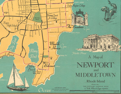
1954 - A Map of Newport and Middletown
Resources
Partners
T
HE
N
EWPORT
M
AP
P
ROJECT
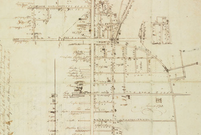
Ezra Stiles, Manuscript Map of Newport, 1758
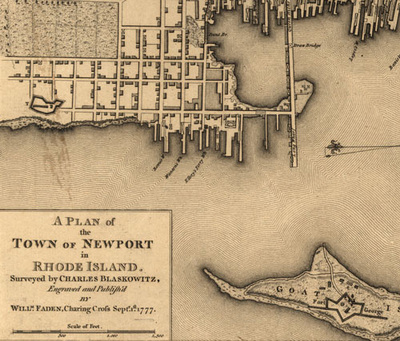
Charles Blaskowitz, Plan of the Town of Newport, 1777
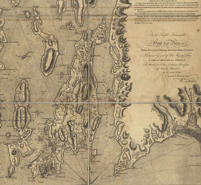
Charles Blaskowitz, Topographical Chart of Narragansett Bay, 1777
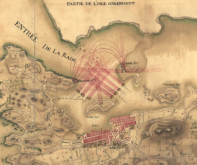
Plan of the Position of the French Army, 1780
Newport Harbor, 1838
Dripps and Tilley, Map of Newport, 1859
G.M. Hopkins, City Atlas of Newport, 1876
Galt & Hoy, Bird's-eye-view, 1878
G.M. Hopkins, City Atlas of Newport, 1883
Sanborn Map and Publishing Co., Newport, RI, 1884
L. J. Richards and Co., Atlas of the City of Newport, 1893
L. J. Richards and Co., Atlas of the City of Newport, 1907
Frederick Law Olmsted Jr., Proposed Improvements to Newport, 1913
Sandborn Map Co., Atlas of Newport, Jamestown, Middletown and Portsmouth, 1921
Mount Hope Bridge Corporation, Newport’s Famous Ten Mile Drive, 1933
Newport National Bank, A Map of Newport and Middletown, 1954