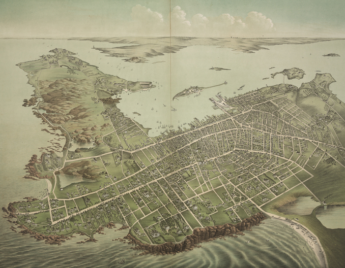
Newport, RI, 1878
Galt & Hoy, New York, NY
From the collection of the Library of Congress
Galt & Hoy, New York, NY
From the collection of the Library of Congress
|
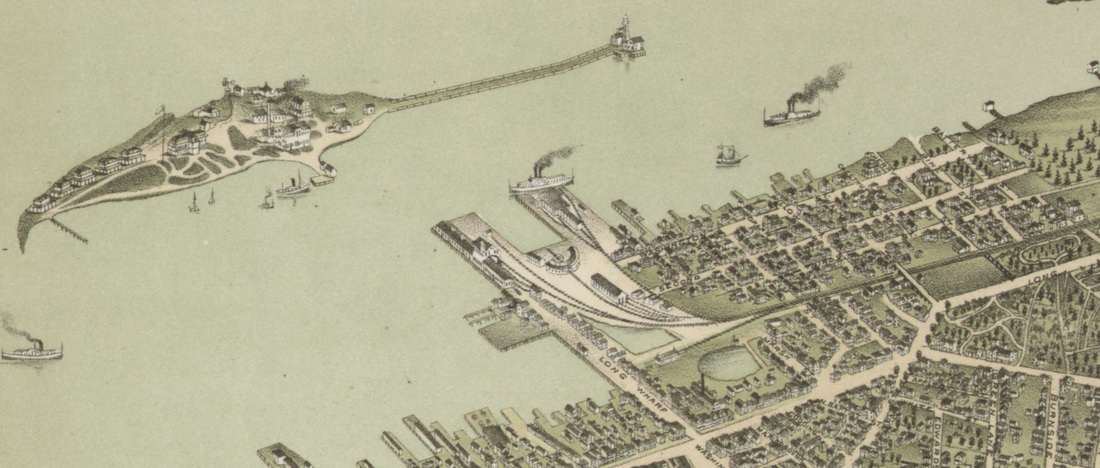
Detail of the Point neighborhood and Goat Island.
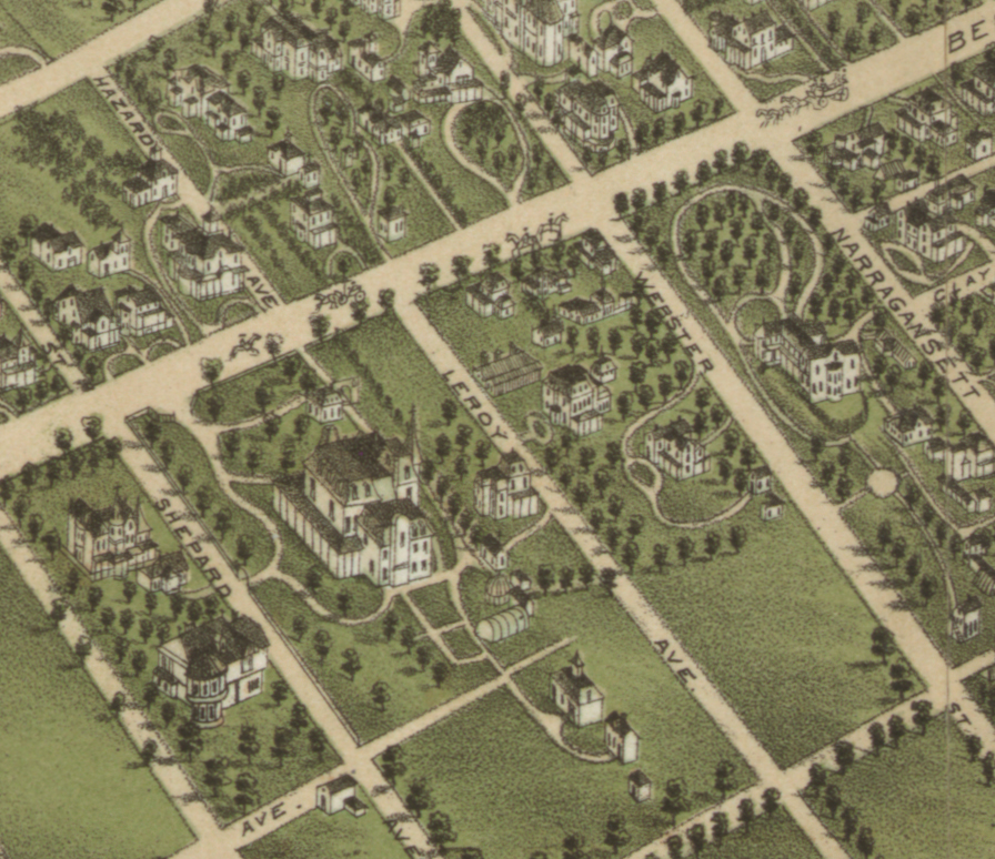
Detail of Bellevue Avenue, showing Chateau-sur-Mer (1852) and the William Watts Sherman house (1875).
|
Galt & Hoy of New York published this beautiful bird’s-eye-view of Newport and its surrounding areas around 1878. The image presents a panoramic view of Newport before the arrival of the grand Beaux Arts palaces of the Gilded Age, when it was still a city dominated by wooden cottages.
This map allows for an easy comparison of the Quaker grid of the Point neighborhood in the upper right corner with the more picturesque streetscapes of Ocean Drive in the upper left. The Point layout is very similar to other colonial Quaker settlements, with its rigid grid. Streets were named, according to Quaker principles of humility, after trees and numbers rather than men; Washington Street was originally Water Street, and was not renamed until after General Washington visited Newport. In contrast, the winding roads of what is now Ocean Drive hug the hills and valleys, and landscape. Bellevue Avenue, formally laid out in the 1850s, with its wide and straight design is reminiscent of Haussmann’s Paris, with its grand boulevards. This is a map intended as a promotional tool for Newport. Galt & Hoy produced similarly stunning views of other cities, capitalizing on the new media of lithography for promotion of commercial tourism. Offering tremendous detail of the urban makeup of Newport and a sense of the topography, this is a wonderful map for marketing as a tourist or investor’s souvenir. |


